Email distribution list: Click here to subscribe.
The datum used for these positions is WGS 84. These positions should be moved 0.01 minutes Southward and 0.08 minutes Eastward for plotting on the older version of Admiralty Chart 1464 (OSGB 36).
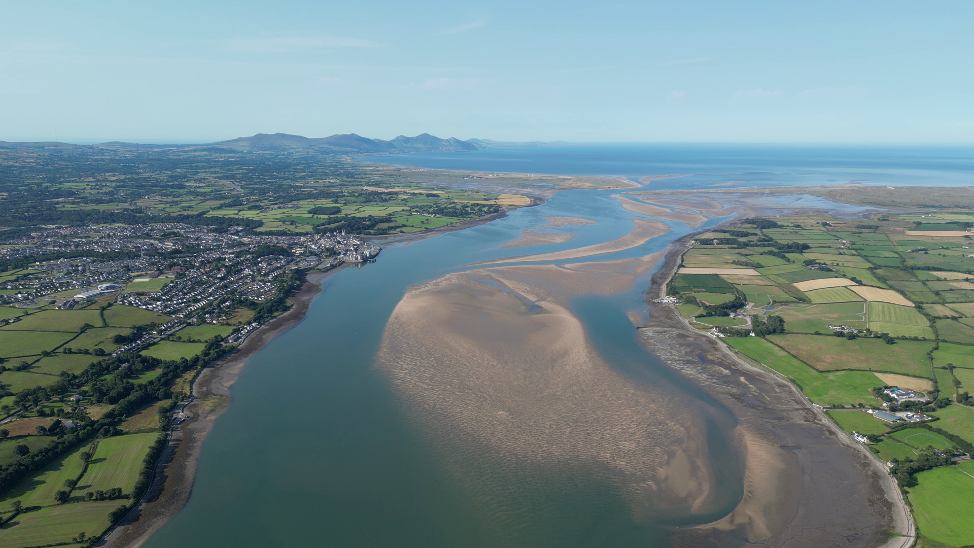
The bar channel should not be used at any time other than 3 hours either side of High Water (Depending on sea state).
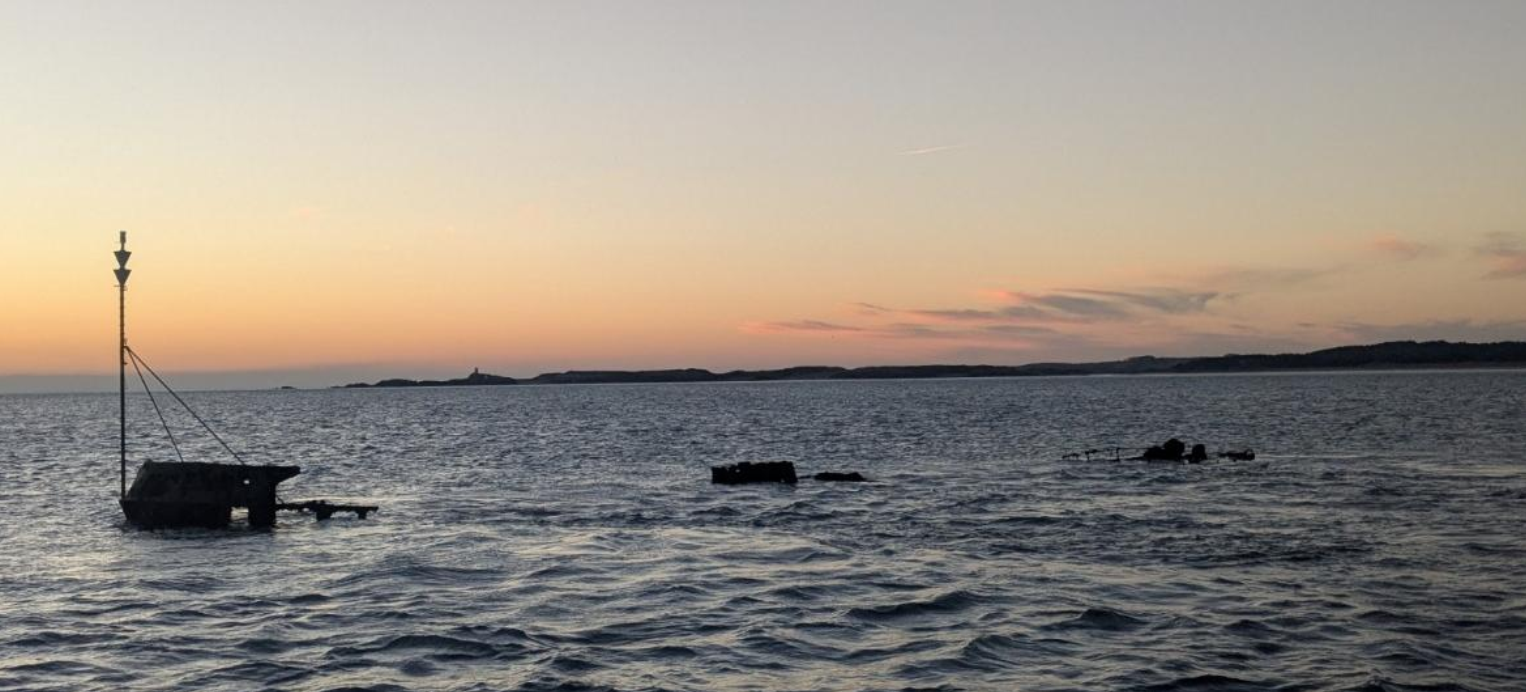
The wreck of the Grampian Castle lies in position 053° 07.30’N 004° 22.99’W.
Mariners are advised to exercise caution in this area.
Buoy Positions – 16/12/2025
| Aid to Navigation | Approximate Depth (5 metres off correct side of AtoN, adjusted to CD). WARNING: Depth will be affected by wind, atmospheric pressure and sea state. | Latitude | Longitude | Light |
|---|---|---|---|---|
| Change of detail since last report. | ||||
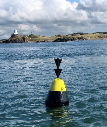
| LLANDDWYN ISLAND SW ROCK BUOY S CARDINAL | 10.1m | 53ᵒ 07’.81 N | 004ᵒ25’.05 W | Unlit |
| LLANDDWYN ISLAND NE ROCK BUOY S CARDINAL | 2.67m | 53ᵒ 08’.04 N | 004ᵒ24’.47 W | Unlit |
| SAFE WATER MARK | OFF STATION FOR WINTER | 53ᵒ 06’.96N | 004ᵒ25'.11 W | L Fl.10s |
| C 1 STARBOARD | 6.03m | 53ᵒ 07’.00 N | 004ᵒ24’.69 W | Fl.G.5s |
| C 2 PORT | 1.47m | 53ᵒ 07’.13N | 004ᵒ24’.35 W | Fl.R.10s |
| C 3 STARBOARD | 2.91m | 53ᵒ 07’.23 N | 004ᵒ 23’.88 W | Q.G |
| C 4 PORT | 2.93m | 53ᵒ 07’.12 N | 004ᵒ22’.74 W | Q.R |
| GRAMPIAN CASTLE S CARDINAL | 1.78m | 53ᵒ 07’.26 N | 004ᵒ 22’.96 W | VQ(6)+LFl.10s |
| C 5 STARBOARD | 1.53m | 53ᵒ 07’.19 N | 004ᵒ23’.37 W | Fl.G(2).5s |
| C 6 PORT | 3.04m | 53ᵒ 07’.16 N | 004ᵒ21’.97 W | Fl.R.5s |
| MUSSEL BANK PERCH | 3.84m | 53ᵒ 07’.32 N | 004ᵒ20’.92 W | Fl.R(2).5s |
| C 8 PORT | 5.54m | 53ᵒ 07’.63N | 004ᵒ19’.43 W | Fl.R.3s |
| C 10 PORT | 2.89m | 53ᵒ 07’.95 N | 004ᵒ18’.25 W | Q.R |
| C 7 STARBOARD | 3.32m | 53ᵒ 08’.13 N | 004ᵒ18’.02 W | Q.G |
| C 12 PORT | 1.6m | 53ᵒ 08’.48 N | 004ᵒ17’.39 W | Fl(2)R.10s |
| C 9 STARBOARD | 3.7m | 53ᵒ 08’.54 N | 004ᵒ16’.91 W | Fl.G.2s |
| CHANGE BUOY S CARDINAL | 4.24m | 53ᵒ 08’.80 N | 004ᵒ16’.74 W | VQ(6)+LFl.10s |
| SEIONT RIVER BIFURCATION | 0.13m | 53ᵒ 08’.55 N | 004ᵒ16’.81 W | Unlit |
| TRAETH GWYLLT STARBOARD | 2.78m | 53ᵒ 09’.27 N | 004ᵒ16’.09 W | Fl(2)G.10s |
| C 13 STARBOARD | 2.71m | 53ᵒ 09’.53 N | 004ᵒ15’.89 W | Fl(4)G.10s |
| C 11 STARBOARD | 3.85m | 53ᵒ 09’.88 N | 004ᵒ15’.63 W | Fl(2)G.5s |
| C 14 PORT | 5.28m | 53ᵒ 10’.19 N | 004ᵒ15’.50 W | Fl.R.5s |
| C TEMP PORT | 4.92m | 53ᵒ 10’.53 N | 004ᵒ14’.67 W | FL(2)R.5s |
| C 9 STARBOARD PORT DINORWIC | 2.96m | 53ᵒ 10.63N | 004ᵒ13’.82W | FL(3)G.10s |